
geoserver-mcpיישום שרת פרוטוקול הקשר מודל (MCP) שמחבר LLMs ל- GeoServer REST API

סקירה
תכונות עיקריות
- שאילת ומניפולציה של משאבי GeoServer, שכבות וסגנונות
- ביצוע שאילות מרחביות על נתונים וקטוריים
- יצירת הדמיות מפות
- גישה לשירותי אינטרנט תואמי OGC (WMS, WFS)
- שילוב קל עם לקוחות MCP-תואמים
תמחור
- מודל
- Free
- קטגוריה
- שרתי MCP
- דירוג
- אין עדיין ביקורות
מקרי שימוש
ניתוח נתונים גיאו-מרחביים
השתמש ב- GeoServer MCP Server כדי לחבר LLMs לנתונים ושירותים גיאו-מרחביים, המאפשר לעוזרים מבוססי AI לנתח וליצור אינטראקציה עם נתונים גיאו-מרחביים.
הדמיות מפות
צור הדמיות מפות באמצעות GeoServer MCP Server, המאפשר למשתמשים ליצור ולשתף מפות אינטראקטיביות.
יתרונות וחסרונות
יתרונות
- שילוב קל עם לקוחות MCP-תואמים
- תומך בשאילת ומניפולציה של נתונים גיאו-מרחביים
- מאפשר יצירת הדמיות מפות
- גישה לשירותי אינטרנט תואמי OGC
חסרונות
- דורש Python 3.10 או גבוה יותר
- זקוק למופע GeoServer עם REST API מופעל
- מוגבל לגרסת בטא (0.5.0) עם פוטנציאל לבאגים
ביקורות
התחבר כדי להשאיר ביקורת.
עדיין אין ביקורות. היה הראשון!
שאלות ותשובות
Are there any notable limitations or bugs to be aware of?
Since it is a beta release, users may encounter bugs and incomplete features. The server also requires an active GeoServer instance and may not support all advanced GeoServer functionalities out of the box.
Asked by Boris Yankov · Jun 12, 2026
What features are currently supported in the beta (0.5.0) release?
The beta supports workspace, datastore, coverage store, layer, layer group, user, and style management; querying and manipulating layers; executing spatial queries on vector data; generating map visualizations; and accessing OGC‑compliant services like WMS and WFS. Planned features are listed in the repository but not yet available.
Asked by Ismael Rios · Jun 10, 2026
How does GeoServer MCP Server integrate with AI assistants?
It implements the Model Context Protocol, allowing MCP‑compatible clients such as Claude Desktop or Cursor to send commands that query and manipulate GeoServer workspaces, layers, styles, execute spatial queries, and generate map visualizations via the GeoServer REST API.
Asked by Mustafa Yilmaz · Mar 14, 2026
What are the minimum system requirements for running GeoServer MCP Server?
It requires Python 3.10 or higher and a running GeoServer instance with the REST API enabled. Alternatively, you can use the provided Docker image to avoid Python dependencies.
Asked by Carmela Esposito · Feb 23, 2026
שאל שאלה
חלופות לשרתי MCP

 Playwright MCPשרתי MCP
שרת MCP פתוחת הרשאות המאפשרת למודלי כאב דחס לנהוג בדפדפנים חכמים באמצעות Playwright וצילומי מעטפת זמינות

פרספקטיבתי: פרוטו-אפליקציית Python מאחורי Pydantic לבניית אפליקציות GenAI בטוחות מסוג מבנה

שכבת זיכרון אדפטיבית המסייעת לסוכני AI ללמוד מהקשר לאורך זמן

 Inbox Zeroשרתי MCP
עוזר דואר אלקטרוני מבוסס AI שארגن, מגיש טיוטות תשובות ועוזר להגיע לאפס תיבת דואר מהר יותר.
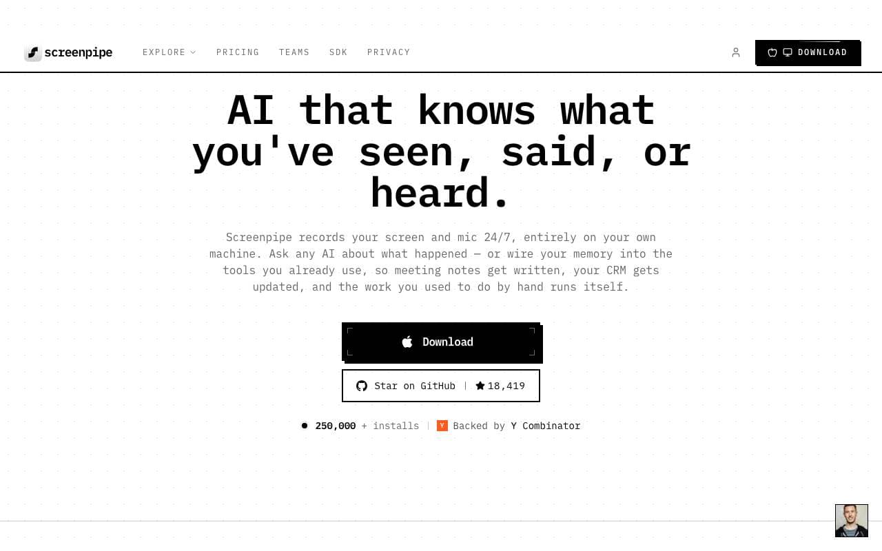
 Screenpipeשרתי MCP
מערכת תצוגה פתוחה לאיתור צילומי מסך ושיחה 24/7 לבניית אפליקציות AI מודעות למצב
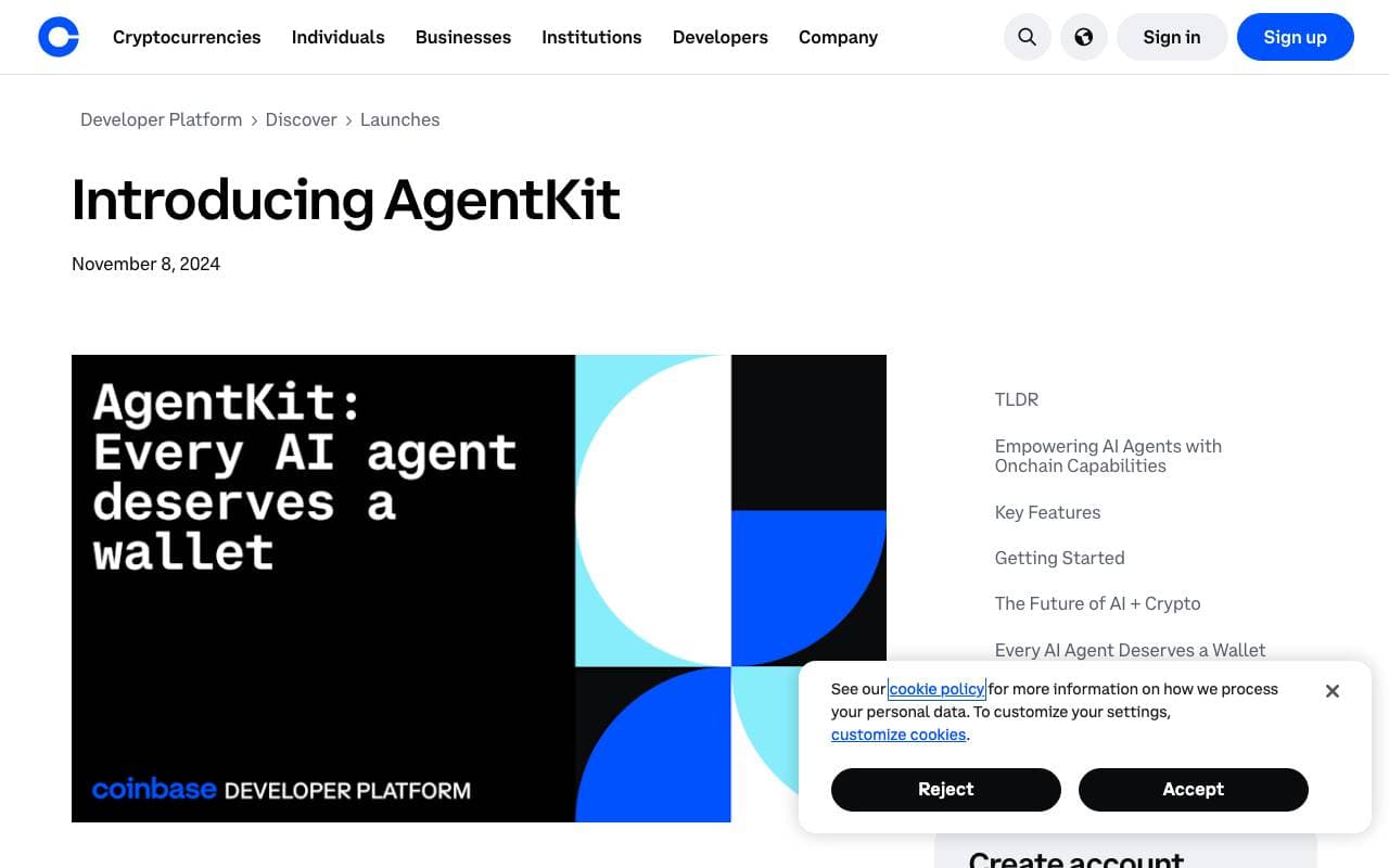
 AgentKitשרתי MCP
ספריית TypeScript לבניית ושארתורה של סגני-מחשב עם כלים, זיכרון וארגוני-עבודה של סגנים-מחשב

 onchain-mcpשרתי MCP
מביאים את בנק-לס API ל-AI למבנה MCP

 markitdownשרתי MCP
תכולי Python להמרת קובצים ודוקומנטים קופסה ל-Markdown.
Trending now

 Reducto AIתומןול שג עװיוןשביים פלוד
API להבנת מסמכים שמפרק, מפלג, מבצע אופטיקה ומניח מידע מובנה מ-PDFs, שק

 AdCrierמסחר ופרסום
תשלומים מראש לשאלות, שוליים בקליק

 Biology AIAI למידה
עזרה מדויקת בשיעורי הבית עם הסברים מלאים

 Pixtral 12B 24.09LLM: אלת במן גלטר
תגובת ה-API אופן, תסמיק למודל 12B שעובד בזמן אמת קריאות המכילות תמונות וטקסט, עם קצב שיתוף 128K.