
概览
主要功能
- 地理编码:将地址或地区名称转换为经度,维度,格式化的地址
- 反地理编码:将经度和维度转换为最近的地址
- 地理编码(详细信息):返回额外的数据,例如包围框和详细地址信息
- 距离计算:计算两个地址或坐标之间的距离
价格
- 模型
- Free
- 分类
- 服务配缩器
- 评分
- 暂无评价
使用场景
基于位置的搜索
使用 MCP-Geo 查找基于用户位置的附近的兴趣点或商店
路线规划
使用 MCP-Geo 的距离计算工具规划位于不同的位置之间的路线
优点 & 缺点
优点
- 提供准确的地理编码和反地理编码功能
- 以安全的方式处理错误并在未成功查找时返回 None
- 根据使用的请求和使用限制来进行限定
- 支持多个地理编码提供商,包括 Nominatim,ArcGIS 和 Bing
缺点
- 需要 Python 3.6+ 且依赖特定的依赖,包括 GeoPY 和 FastMCP
- 可能受使用次数上限和底层地理编码服务的配额影响
评测
登录以留下评测。
暂无评测。来当第一个吧!
问答
Is MCP-Geo rate-limited?
Yes, MCP-Geo is rate-limited to avoid hitting geocoding service quotas and ensure safe usage.
Asked by Xavier Costa · Oct 1, 2025
What geocoding tools are provided?
MCP-Geo provides tools for geocoding, reverse geocoding, geocoding with details, and distance calculations.
Asked by Ludovic Girard · Jul 27, 2025
What are the system requirements?
MCP-Geo requires Python 3.6+ and specific dependencies, including GeoPY and FastMCP.
Asked by Isabela Almeida · Jul 8, 2025
What is MCP-Geo?
MCP-Geo is a geocoding MCP server that adds map reading tools to AI assistants. It converts addresses into map coordinates and calculates distances.
Asked by Sven Bergqvist · Jun 19, 2025
提问
服务配缩器 的替代品

 Playwright MCP服务配缩器
开源MCP服务器,利用_playwright让LLM控制真实的浏览器以及可访问性快照

Python agent 框架由 Pydantic 团队开发,用于构建类型安全的 GenAI 应用。

自适应的记忆层,帮助AI智能体从上下文中学习

 Inbox Zero服务配缩器
AI 邮箱助手,帮助您更快地达到 inbox zero。
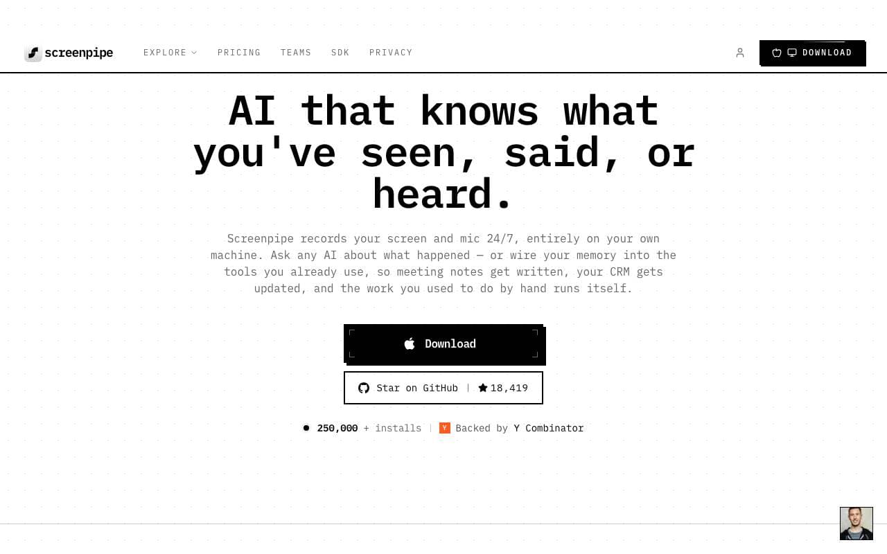
 Screenpipe服务配缩器
开源式24小时设备屏幕和音频录制,适合构建依赖实况人工智能(AI)应用
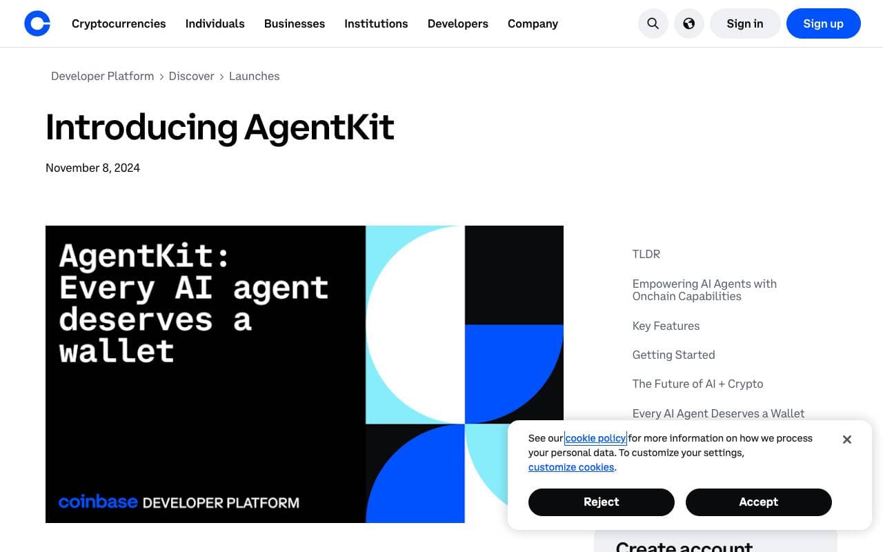
 AgentKit服务配缩器
用于构建和编排带有工具、内存和多智能体工作流的AI智能体的TypeScript库。

 onchain-mcp服务配缩器
把无银行的 onchain API 带入 MCP

 markitdown服务配缩器
带少分享系兿司上字詰級下合存号来皅