
geoserver-mcpImplementacja serwera Model Context Protocol (MCP), łącząca LLM z API REST GeoServer

Przegląd
Kluczowe funkcje
- Zapytania i manipulacja przestrzeniami roboczymi, warstwami i stylami w GeoServer
- Wykonywanie zapytań przestrzennych na danych wektorowych
- Generowanie wizualizacji map
- Dostęp do usług webowych zgodnych z OGC (WMS, WFS)
- Łatwa integracja z klientami kompatybilnymi z MCP
Cennik
- Model
- Free
- Kategoria
- Serwery MCP
- Ocena
- Brak recenzji
Zastosowania
Analiza danych geoprzestrzennych
Użyj GeoServer MCP Server, aby połączyć LLM z danymi i usługami geoprzestrzennymi, umożliwiając asystentom AI analizę i interakcję z danymi geoprzestrzennymi.
Wizualizacja map
Generuj wizualizacje map przy użyciu GeoServer MCP Server, umożliwiając użytkownikom łatwe tworzenie i udostępnianie interaktywnych map.
Plusy i minusy
Plusy
- Łatwa integracja z klientami kompatybilnymi z MCP
- Obsługa zapytań i manipulacji danymi geoprzestrzennymi
- Umożliwia generowanie wizualizacji map
- Dostęp do usług webowych zgodnych z OGC
Minusy
- Wymaga Pythona 3.10 lub wyższego
- Wymaga uruchomionego instance GeoServer z włączonym API REST
- Ograniczona do wersji beta (0.5.0) z potencjalnymi błędami
Recenzje
Zaloguj się, aby zostawić recenzję.
Brak recenzji. Bądź pierwszy!
Pytania i odpowiedzi
Are there any notable limitations or bugs to be aware of?
Since it is a beta release, users may encounter bugs and incomplete features. The server also requires an active GeoServer instance and may not support all advanced GeoServer functionalities out of the box.
Asked by Boris Yankov · Jun 12, 2026
What features are currently supported in the beta (0.5.0) release?
The beta supports workspace, datastore, coverage store, layer, layer group, user, and style management; querying and manipulating layers; executing spatial queries on vector data; generating map visualizations; and accessing OGC‑compliant services like WMS and WFS. Planned features are listed in the repository but not yet available.
Asked by Ismael Rios · Jun 10, 2026
How does GeoServer MCP Server integrate with AI assistants?
It implements the Model Context Protocol, allowing MCP‑compatible clients such as Claude Desktop or Cursor to send commands that query and manipulate GeoServer workspaces, layers, styles, execute spatial queries, and generate map visualizations via the GeoServer REST API.
Asked by Mustafa Yilmaz · Mar 14, 2026
What are the minimum system requirements for running GeoServer MCP Server?
It requires Python 3.10 or higher and a running GeoServer instance with the REST API enabled. Alternatively, you can use the provided Docker image to avoid Python dependencies.
Asked by Carmela Esposito · Feb 23, 2026
Zadaj pytanie
Alternatywy dla Serwery MCP

 Playwright MCPSerwery MCP
Serwer MCP open-source, który pozwala modelom LLM sterować prawdziwymi przeglądarkami przy pomocy Playwright i zrzutów dostępności.

Pythonowy framework agentów od zespołu Pydantic do budowania aplikacji GenAI z silnym typowaniem.
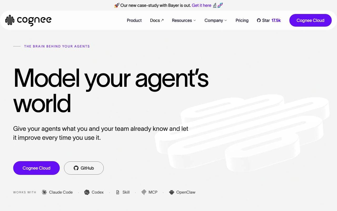
Adaptacyjna warstwa pamięci, która pomaga agentom AI uczyć się z kontekstu z biegiem czasu.

 Inbox ZeroSerwery MCP
Asystent pocztowy AI, który organizuje, tworzy odpowiedzi i pomaga szybciej osiągnąć pustą skrzynkę odbiorczą.
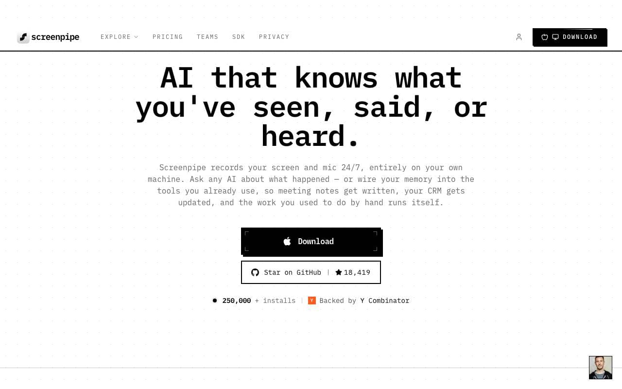
 ScreenpipeSerwery MCP
Open-source 24/7 lokalne nagrywanie ekranu i dźwięku do budowania kontekstowych aplikacji AI
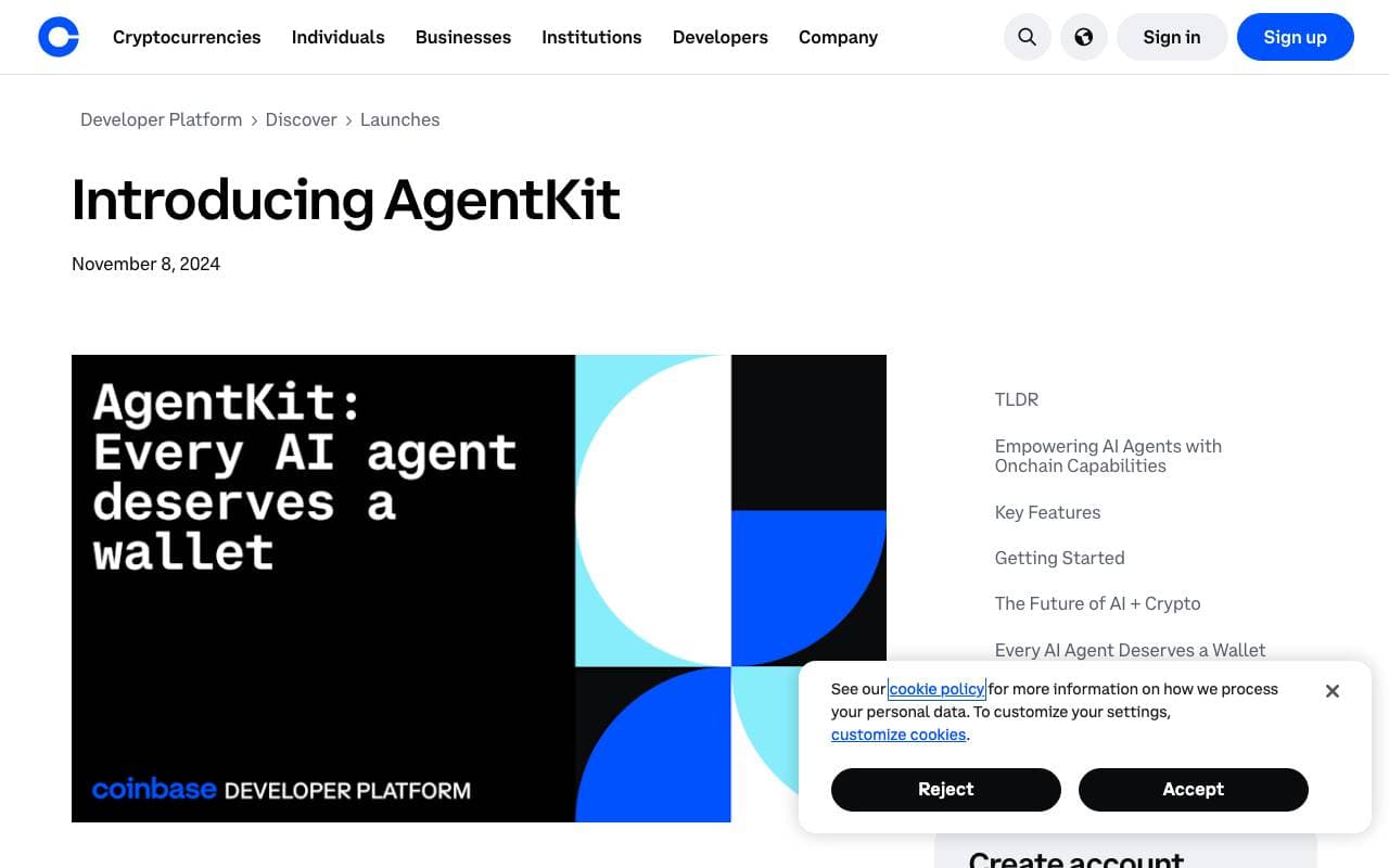
 AgentKitSerwery MCP
Biblioteka TypeScript do budowania i koordynacji agentów AI z narzędziami, pamięcią i wieloagentowymi przepływami pracy.

 onchain-mcpSerwery MCP
Przynosząc bankowość bez banków do onchain API dla MCP

 markitdownSerwery MCP
Narzędzie Python do konwertowania plików i dokumentów biurowych do formatu Markdown.
Trending now

 Reducto AIPlatformy Rozwoju Agentów Inteligentnych
API inteligencji dokumentowej, które analizuje, dzieli, wykonuje OCR i wyodrębnia strukturalne dane z złożonych PDF-ów, slajdów i arkuszy kalkulacyjnych.
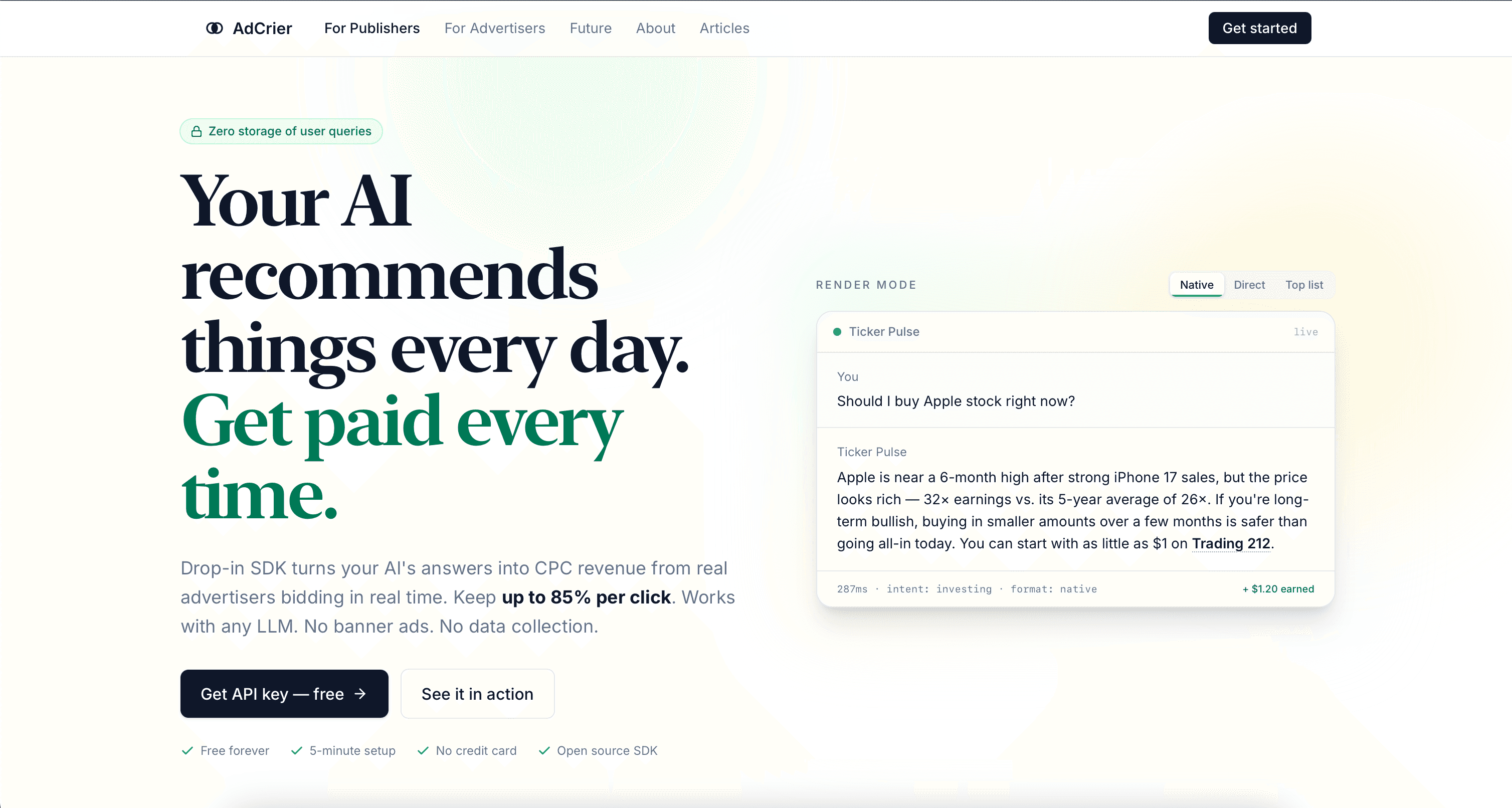
 AdCrierMarketing i Reklama
Sponsorowane odpowiedzi, płatne za kliknięcie.

 Biology AIAI w Edukacji
Precyzyjna pomoc z zadaniami domowymi z pełnymi wyjaśnieniami

 Pixtral 12B 24.09Model Lekki Modyfikacji Maszyny Wielorzędnego
Otwarte, multimodalne model 12B obsługujący przeplatanie obrazów i tekstu przy 128K oknie kontekstowym