
geoserver-mcpModel Context Protocol (MCP) servera implementācija, kas savieno LLM ar GeoServer REST API

Pārskats
Galvenās funkcijas
- Vaicāt un manipulēt ar GeoServer darba telpām, slāņiem un stilēm
- Veikt vietējās vaicāšanas uz vektora datiem
- Ģenerēt kartes vizualizācijas
- Piekļūt OGC saderīgiem tīmekļa pakalpojumiem (WMS, WFS)
- Vienkārša integrācija ar MCP saderīgiem klientiem
Cenas
- Modelis
- Free
- Kategorija
- MCP Serveri
- Vērtējums
- Nav atsauksmju
Lietošanas gadījumi
Ģeogrāfisko datu analīze
Izmantojiet GeoServer MCP Server, lai savienotu LLM ar ģeogrāfiskajiem datiem un pakalpojumiem, ļaujot AI asistentiem analizēt un mijiedarboties ar ģeogrāfiskajiem datiem.
Kartu vizualizācija
Ģenerējiet kartes vizualizācijas, izmantojot GeoServer MCP Server, ļaujot lietotājiem viegli izveidot un kopīgot interaktīvas kartes.
Plusi un mīnusi
Plusi
- Vienkārša integrācija ar MCP saderīgiem klientiem
- Atbalsta ģeogrāfisko datu vaicāšanu un manipulēšanu
- Atļauj ģenerēt kartes vizualizācijas
- Piekļuve OGC saderīgiem tīmekļa pakalpojumiem
Mīnusi
- Prasa Python 3.10 vai augstāku
- Nepieciešama palaista GeoServer instancē ar REST API iespējotam
- Ierobežots beta versijai (0.5.0) ar potenciāliem kļūdām
Atsauksmes
Pieslēdzies, lai atstātu atsauksmi.
Vēl nav atsauksmju. Esi pirmais!
Jautājumi
Are there any notable limitations or bugs to be aware of?
Since it is a beta release, users may encounter bugs and incomplete features. The server also requires an active GeoServer instance and may not support all advanced GeoServer functionalities out of the box.
Asked by Boris Yankov · Jun 12, 2026
What features are currently supported in the beta (0.5.0) release?
The beta supports workspace, datastore, coverage store, layer, layer group, user, and style management; querying and manipulating layers; executing spatial queries on vector data; generating map visualizations; and accessing OGC‑compliant services like WMS and WFS. Planned features are listed in the repository but not yet available.
Asked by Ismael Rios · Jun 10, 2026
How does GeoServer MCP Server integrate with AI assistants?
It implements the Model Context Protocol, allowing MCP‑compatible clients such as Claude Desktop or Cursor to send commands that query and manipulate GeoServer workspaces, layers, styles, execute spatial queries, and generate map visualizations via the GeoServer REST API.
Asked by Mustafa Yilmaz · Mar 14, 2026
What are the minimum system requirements for running GeoServer MCP Server?
It requires Python 3.10 or higher and a running GeoServer instance with the REST API enabled. Alternatively, you can use the provided Docker image to avoid Python dependencies.
Asked by Carmela Esposito · Feb 23, 2026
Uzdod jautājumu
MCP Serveri alternatīvas

 Playwright MCPMCP Serveri
Atvērta pirmkoda MCP serveris, kas ļauj LLM darbināt reālus pārlūkus caur Playwright un pieejamības momentuzņēmumiem.

Pythona aģentu framework no Pydantic komandas uzdevumam veidot tipveidīgas GenAI lietotnes.

Adaptīvs atmiņas slānis, kas palīdz mākslīgā intelekta aģentiem mācīties no konteksta laika gaitā.

 Inbox ZeroMCP Serveri
AI e-pasta asistents, kas organizē, sagatavo atbildes un palīdz ātrāk sasniegt inbox zero.
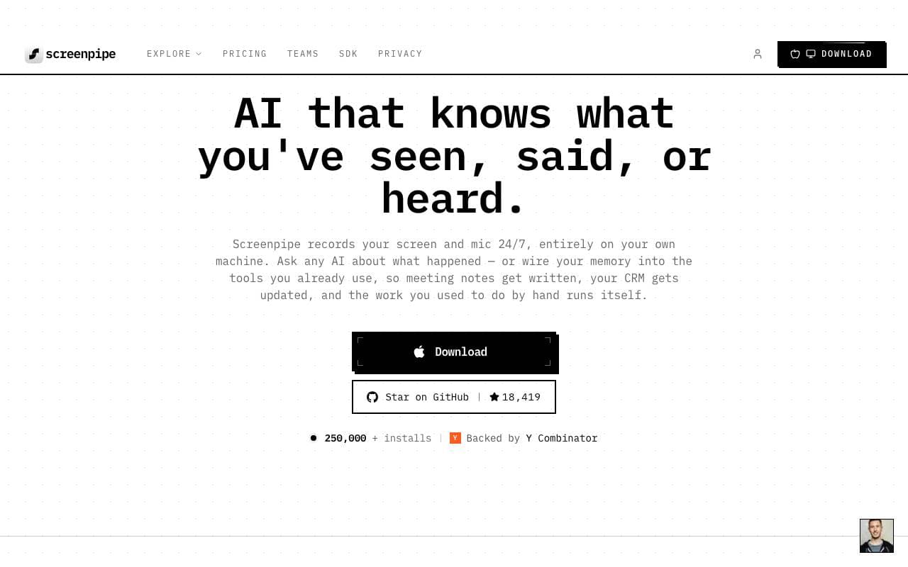
 ScreenpipeMCP Serveri
Atvērtā pirmkoda 24/7 vietējā ekrāna un audio ierakstīšana kontekstuāli izpratīgu AI lietotņu veidošanai
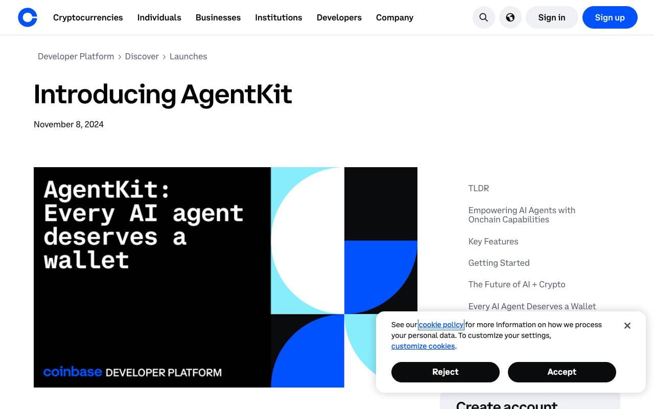
 AgentKitMCP Serveri
TypeScript bibliotēka par kārtību un pārvaldīšanu AI agentiem ar ievietotiem tooliem, memorijas un dažādu agentu strādniecību.

 onchain-mcpMCP Serveri
Apvieno Bankless Onchain API ar MCP

 markitdownMCP Serveri
Python rīks, lai pārveidotu failus un ofisa dokumentus uz Markdown.
Trending now

 Biology AIIzglītības AI
Precīza Pildījuma Palīdzība ar Vispārējām Izskaidrojumiem

 Reducto AIAttīstības platformas AI aģentiem
Dokumentu intelekta API, kas parse, dalās, OCR un izvelk strukturētus datus no kompleksām PDF, slaidēm un kalkulāciju tabulām.

 Pixtral 12B 24.09LLM
Atvērts multimodāls 12B modelis, kas apstrādā iekavētus attēlus un tekstu ar 128K konteksta logu.

 AdCrierReklāma un Publicitāte
Finansētas atbildes, maksām uz klikšķi.